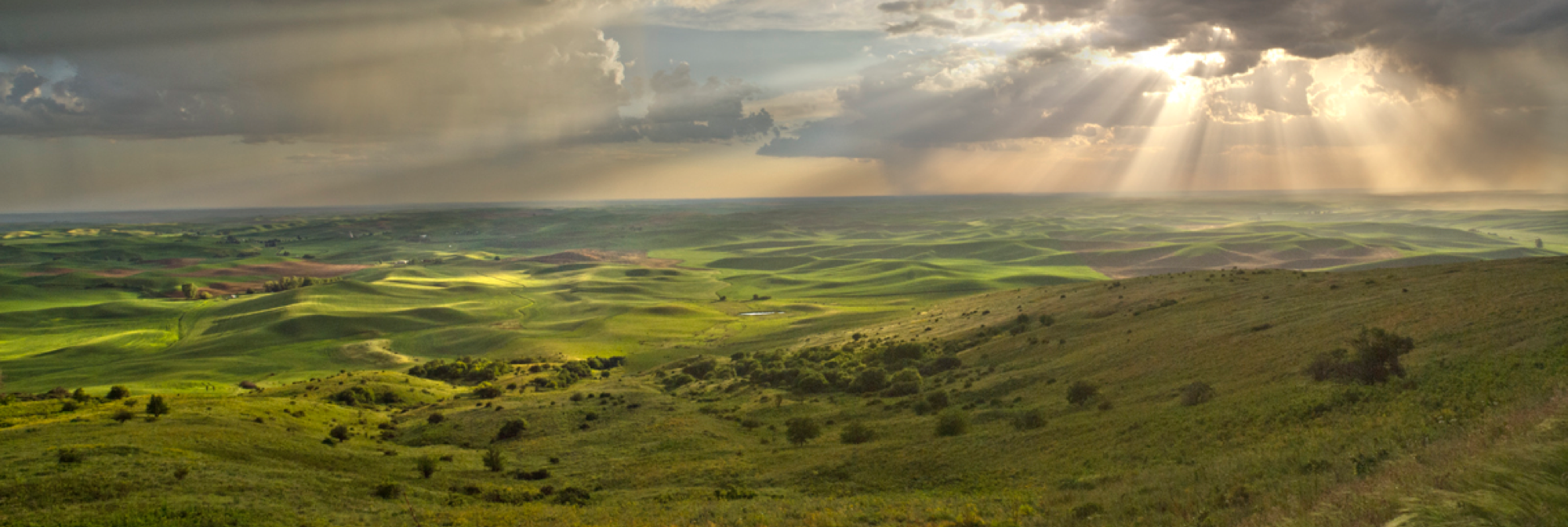
The Palouse region covers that part of Eastern Washington and Northern Idaho in the Palouse River basin as well as adjacent lands characterized by a rolling terrain of fertile loess soils. This area covers approximately 4,000 square miles and lies largely in Washington's Whitman and Spokane counties, the eastern third of Adams County, and in Idaho's Latah County. Nearly seventy percent of the land is arable, composed of deep deposits of rich but fragile topsoil which cover immense layers of brown-black basalt. This bedrock shield is up to 10,000 feet thick resulting from successive lava flows through fissures across the Columbia Plateau during the late Miocene Epoch between six and seventeen million years ago when the area of today's Palouse Country, before the Cascade uplift, received as much as fifty inches of annual rainfall to host a mixed forest of conifers, maples, water tupelo, and oak similar to America's southeastern bald cypress swamps of today.
The Palouse is bounded by the Snake and Clearwater rivers on the south and Idaho's imposing Bitterroot and Clearwater Mountains to the east. The evergreen forests of these eastern uplands extend across the northern half of Spokane County along a line roughly corresponding to the deepest penetration of the great Pleistocene glaciers to form the region's northern limit. The Cheney-Palouse lobe of the Channeled Scablands comprises the region's western boundary which extends from the timber line near Tyler, Washington south to the mouth of the Palouse River. Annual rainfall increases from an average of fourteen inches in the western Palouse prairies to eighteen inches in the central Palouse Hills and up to twenty-two inches in the foothills of the eastern mountains.
This pattern corresponds to a rise in elevation from 1,200 feet in the southwest corner of the Palouse prairie to the fringe of the Clearwater Palouse Range at 2,800 feet, almost exactly one inch of precipitation for every hundred feet of elevation. Variations in soil fertility developed over ages due to increasing rainfall eastward led to climax vegetation associated with the Palouse's three climatic life zones: Upper Sonoran in the western Palouse, Arid Transition across the central Palouse Hills, and Canadian in the eastern mountain uplands.


